ℹ️ Consult the tutorial "Add elevation points/lines" to better master this process !
1. Represent the lowest level of the project (for example, simply 0" here).
2. Create the other elevation points on the project. Below is an example of an elevation at 12'.
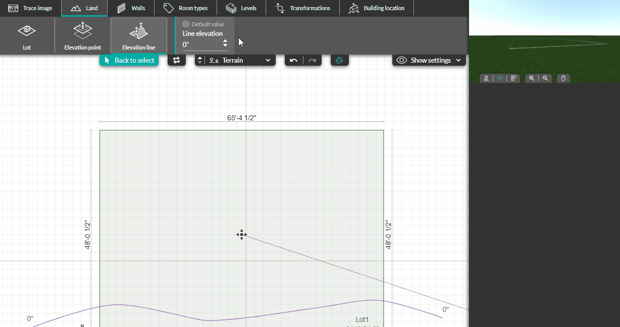
💡 To create a smooth curve transition in the terrain its best to add elevation points further away from the lot to prevent an immediate break in the terrain.